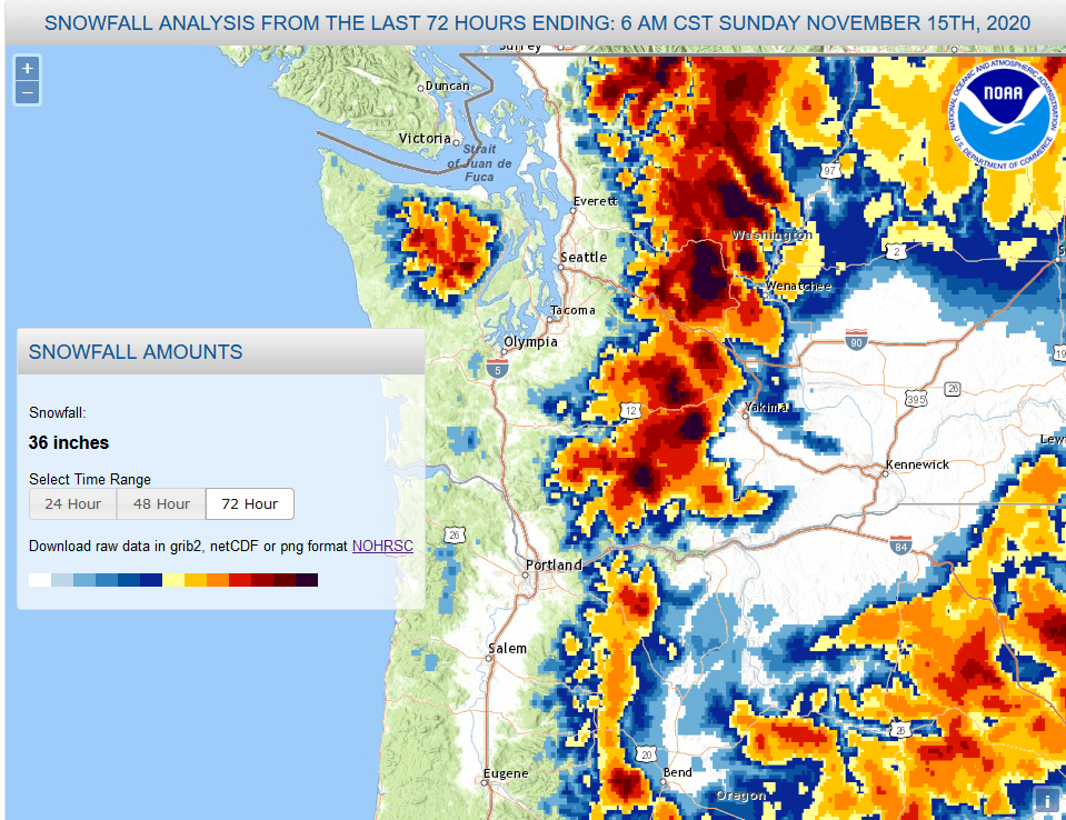
It was a stormy weekend for the Pacific Northwest. Early last week Washington weather enthusiasts were excited about a possible windstorm that wound up striking further south (50+ mph gusts in Newport, Or!), but I was looking forward to something different – the first big snowfall of the season for the Washington Cascades.
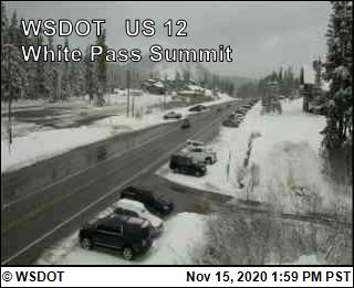
Active weather indeed. From Mt. Hood to Mt. Baker and beyond, ski areas across the northwest built a considerable base. Snoqualmie Pass went into the weekend with just a few inches of snow on the ground and now, as of Sunday morning, has 26” of snow depth. Aforementioned Baker and Hood have 47” and 44”, respectively. The Cascades were not the only range to experience significant snowfall, with notable totals also occurring in the Olympics, eastern Oregon, and mountains of northeastern Washington and northern Idaho.


And in the forecast for this upcoming week is…more snow!
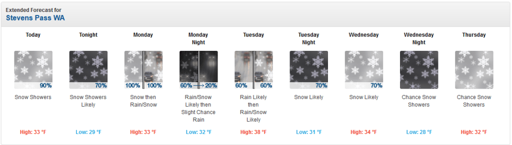
To be fair, temperatures and snow levels are expected to rise until Tuesday with the arrival of a warm front and upper-level ridge. It is still November after all.
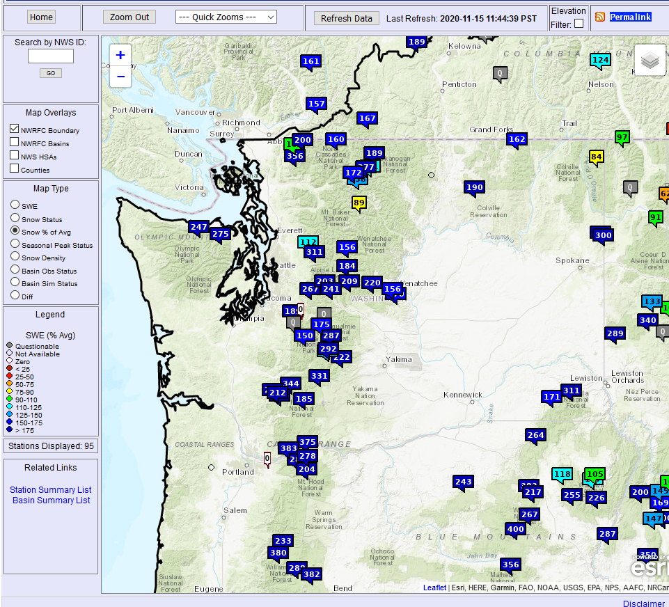
Notably, this is a much earlier start to the snow season than last winter. At Olallie Meadows SNOTEL site (near Snoqualmie Pass) the snow water equivalent (SWE) and snow depth amounts measured on the morning of 11/15 weren’t reached until December 19 in 2019. The Mt. Hood site didn’t match Sunday’s snow amounts until early January 2020. SWE amounts are generally between 100-300% of average for the date across Oregon and Washington mountain ranges. Whether you care about skiing, snowball fights, or water resources, this weekend was an encouraging start to the season.